News and Policies
Aerial photographs reveal Harbin’s development
Updated: Oct 9, 2018
Print
Share - WeChat

Editor’s note: To showcase the natural and urban landscapes of Harbin, as well as to demonstrate the development achievements of the city, a series of aerial photographs taken during the National Day holiday has been published.
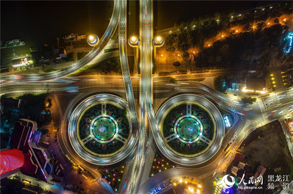
A night view of Harbin’s overpass on the north bank of Songhua River. [Photo/people.cn]
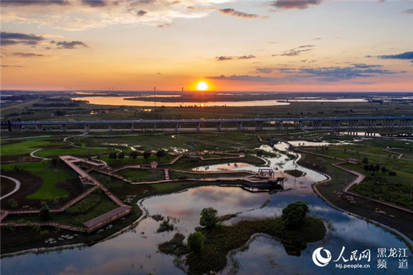
Wetlands along the Songhua River bask in the setting sun. [Photo/people.cn]
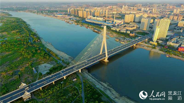
A bridge links the south bank of Songhua River to Sun Island. [Photo/people.cn]
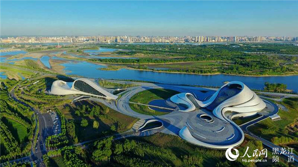
An aerial photograph shows the striking architecture of Harbin Grand Theater [Photo/people.cn]
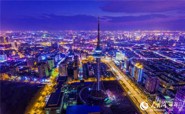
The glow of city lights is pictured in this aerial photo of Harbin. [Photo/people.cn]


